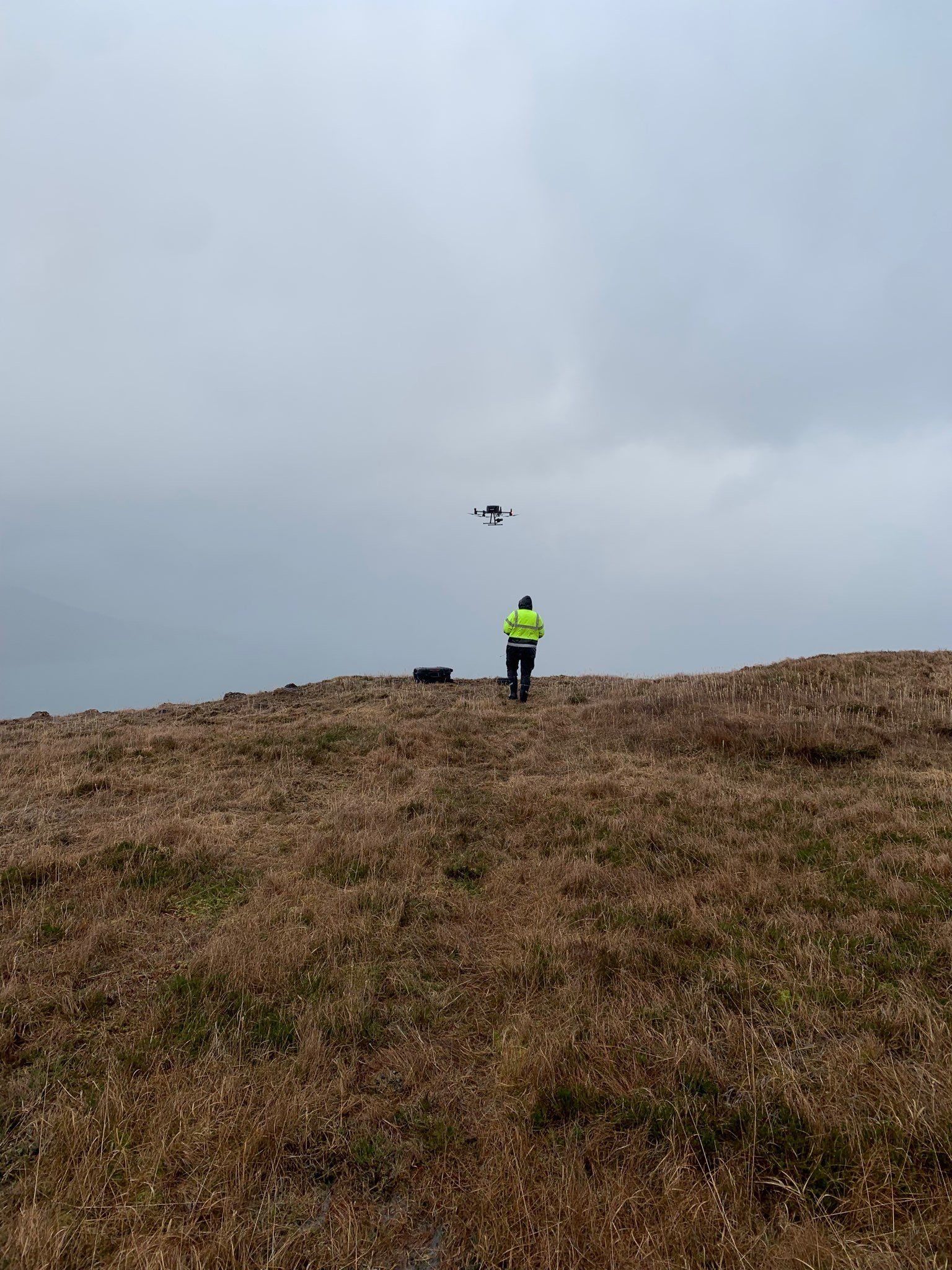
Commercial Grade Survey Drone
DJI Matrice 300 RTK
With this equipment, we can generate high resolution 2D maps and 3D models to aid planning, maximise operational efficiency and monitor progress and performance. We are able to operate our drones in remote locations, carrying them and the associated equipment to where ever they need to be.
Depending on climatic conditions we can normally cover c 40 ha is a 35 min flight generating spatially accurate imagery with a 1.25cm pixel resolution, compared to 50cm resolution of Google Earth.


Request a Free Quote
Submit your request and we'll get back to you with more information.